
DeKalb County ZIP Coverage
Postal areas cross DeKalb County in patterns built for mail delivery, not local government. The coverage table groups the principal areas found in the county research. It is a working inventory, not a substitute for checking one address. USPS does not publish a simple authoritative countywide ZIP-to-neighborhood table, and the research did not confirm a complete set of box-only or unique assignments.
| ZIP | DeKalb areas | Postal city | Coverage note |
|---|---|---|---|
| 30002 | Avondale Estates core | Avondale Estates | Small incorporated core |
| 30021 | Clarkston and nearby county | Clarkston | Extends beyond city |
| 30030 | Downtown Decatur | Decatur | Close city match |
| 30032 | Belvedere Park, East Lake vicinity | Decatur | Much outside city |
| 30033 | North Decatur, Emory vicinity | Decatur | Mostly beyond city line |
| 30034, 30035 | South and east DeKalb | Decatur | Postal label exceeds city |
| 30038, 30058 | Stonecrest, Lithonia, east county | Lithonia | Postal area exceeds city |
| 30072, 30079 | Pine Lake; Scottdale vicinity | Pine Lake; Scottdale | Small-area labels |
| 30083, 30087, 30088 | Stone Mountain, Smoke Rise, east county | Stone Mountain | Wider than city |
| 30084 | Tucker and nearby county | Tucker | Surrounding area included |
| 30288 | Southern county edge | Conley | DeKalb-Clayton boundary |
| 30306, 30307 | Druid Hills, Emory edge | Atlanta | Western DeKalb parts |
| 30316, 30317 | Constitution, Kirkwood, East Lake | Atlanta | Only parts in DeKalb |
| 30319, 30329 | Brookhaven, North Druid Hills, Emory | Atlanta/Brookhaven | County jurisdiction can control |
| 30338 | Dunwoody | Dunwoody | North DeKalb |
| 30340, 30341 | Doraville, Northwoods, Chamblee | Atlanta/Doraville/Chamblee | Check municipal line |
| 30345 | Northlake, LaVista | Atlanta | DeKalb services common |
| 30346, 30350, 30360 | Perimeter and north boundary | Atlanta/Dunwoody/Doraville | Verify parcel county |
This ZIP code directory works as a first cut. Neighborhood labels are informal, municipal borders differ, and a postal city can cover unincorporated land. DeKalb's rail towns, streetcar suburbs, postwar tracts, apartment corridors, and unincorporated areas do not fit one neat postal map.
Decatur ZIP Codes Beyond Decatur
Decatur is both a municipality and a broad postal label. ZIP 30030 aligns most closely with the incorporated city. By contrast, 30032 reaches Belvedere Park and the East Lake vicinity, 30033 covers North Decatur and Emory-area addresses, and 30034 and 30035 extend across south and east DeKalb. A request sent only because “Decatur” appears in the mailing line can reach the wrong office.
The key distinction is between USPS delivery and the situs municipality, meaning the government territory where the parcel sits. County GIS should decide whether county or municipal planning, permits, and code records apply. The tax parcel remains in DeKalb's appraisal system even when its postal label suggests another city.
Boundary key. A 30033 address may say Decatur while lying outside City of Decatur, so confirm the parcel and local government in GIS.
Atlanta ZIPs in DeKalb Records
Western DeKalb contains several Atlanta postal areas. Druid Hills and Emory-edge addresses appear in 30306 and 30307. Portions of 30316 and 30317 reach Constitution, Kirkwood, East Atlanta, and East Lake. Farther north, 30319, 30329, 30340, 30341, 30345, 30346, and other northern codes can carry Atlanta on the envelope while DeKalb keeps the parcel and tax records.
The DeKalb Property Appraisal search accepts an address, owner name, or parcel ID. It does not promise a countywide postal filter. Search the full standardized address, then retain the parcel ID and situs field. Those fields are much stronger proof of placement than the postal city.
Verify DeKalb ZIP and Jurisdiction
Use two official tools because they answer different questions. The USPS ZIP Code Lookup checks delivery. DeKalb's GIS Hub and parcel viewer checks the mapped parcel, standardized address, municipal setting, and service layers. Neither should be forced to answer the other's job.
- Enter the complete address in USPS lookup and record the standardized delivery line.
- Search that line in DeKalb GIS, then confirm parcel outline and parcel ID.
- Check the city, district, zoning, or service layer relevant to the sought record.
- Open the appraisal profile, keeping tax mailing and situs fields separate.
- For a full street, switch to the DeKalb County street directory workflow.
The official USPS screen is the sound place to verify one delivery code before using the DeKalb County ZIP code directory. Its source page is linked above.
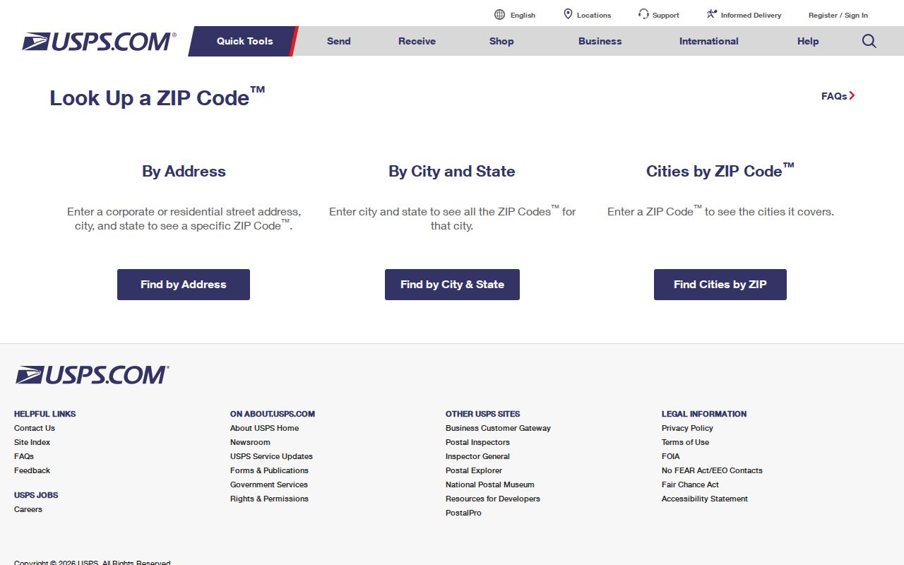
The blank form keeps the task tied to a specific address and avoids assuming that a neighborhood label defines the right postal area.
Find DeKalb Residents by ZIP
No unrestricted government list names every person in a postal area. A careful ZIP code directory search uses the record suited to the question. Property records identify assessed owners. Voter records cover only registered voters and have strict access rules. Neither proves a whole household.
| Official channel | Accepted key | What it can establish |
|---|---|---|
| Property Appraisal | Parcel, address, owner | Assessed owner, situs, mailing field, parcel facts |
| GIS parcel viewer | Address, parcel, map click | Physical placement and nearby parcels |
| My Voter Page | Initial, surname, county, birth date | The user's own registration and districts |
| SOS voter-list order | County, city, precinct, district | Lawfully ordered public voter data |
Georgia My Voter Page is authenticated self-service, not open ZIP browsing. A statutory voter list can be ordered by county and then analyzed by its public address fields. It excludes phone numbers, birth dates, Social Security numbers, and driver-license numbers. Normal production is stated as one to two weeks after payment. O.C.G.A. §21-2-601 bars commercial use of the electors list.
When an existing appraisal export or tax digest contains ZIP, request that existing data in native format from Property Appraisal. An agency need not create a new compilation. GIS selection often represents a physical area better than a postal filter.
DeKalb Address Fields Explained
Three address ideas appear in a DeKalb County ZIP code directory search. The situs is the physical property address. The mailing field is where tax notices go and may point elsewhere. The legal description identifies land through district, land lot, subdivision, block, lot, or metes and bounds, and can survive a changed street name.
- ZIP Code
- A USPS delivery area, not a county, city, school, or fire boundary.
- ZIP+4
- The base digits plus four that narrow a delivery segment, building, or box group.
- PO-box ZIP
- A code mainly or solely for boxes. Research did not confirm a complete DeKalb list.
- Unique ZIP
- A code assigned to one high-volume organization; verify it with USPS.
- Carrier route
- A group of mail stops served together, not a resident boundary.
DeKalb GIS maintains E911 address standards and provides an address verification or request route. Recorded plats add durable lot and block details. If street lines conflict, preserve both forms and let parcel ID and legal description anchor the match.
Stone Mountain and Tucker ZIPs
Stone Mountain codes 30083, 30087, and 30088 cover much more ground than the incorporated city. Smoke Rise falls in the 30087 postal area. Tucker's 30084 area also reaches beyond its city. Lithonia codes 30038 and 30058 include east-county and Stonecrest territory outside Lithonia's limits.
For permits, code cases, and records requests, locate the government boundary before naming a custodian. Unincorporated parcels route to DeKalb County. Parcels inside a municipality may route to that city. The ZIP code alone cannot settle this.
Note: School, fire, voting, and municipal layers describe different districts, and none should be treated as a substitute postal boundary.
Legal Geography Outlasts ZIP Labels
Historic DeKalb records often use the 15th, 16th, and 18th land districts, land lots, old crossroads, and creeks. The DeKalb History Center cemetery index shows why these markers matter. Some sites are private, moved, or listed as not found.
That evidence helps when a modern postal search fails. A past resident may be tied to land near Northlake, Tucker, Smoke Rise, South River, or Stone Mountain without a current street line. Parcel and legal geography can bridge the old wording to today's map. USPS geography is strongest for present mail, not for proving where a family lived decades ago.
When DeKalb address sources disagree, rank the identifiers instead of choosing the most familiar city name. Parcel ID and legal description are strongest for land continuity. The current standardized situs is strongest for county service routing. USPS city and ZIP are strongest only for delivery. A directory street line belongs to its publication year, while census enumeration geography may predate a later city boundary. Preserve each form with its source and date. Then use the parcel map to connect them.
This method also prevents a permit search from going astray. First verify whether the site was inside a municipality when the permit was issued, since annexation or incorporation can change the custodian. If a county portal does not expose a needed ZIP field, ask the department for an existing tax-digest or address dataset in its native format under the DeKalb County open-records process. The agency must provide existing responsive records subject to exemptions, but it need not build a new ZIP compilation. State the address range, record type, and date span so the correct office can route the request.