
Walk a DeKalb Street by Address
A sound DeKalb County street directory search begins with the standardized situs address, the county's term for a parcel's physical location. Ownership is public through appraisal and deed records, but those records do not prove who lives in a home. The tax-mailing address may point to an owner elsewhere. Voter files and old directories provide separate, incomplete clues about occupancy. Keep each fact under its source label so assessed ownership never turns into an unsupported household claim.
- Enter the street number and name in DeKalb County Property Appraisal. Save the situs text, parcel ID, assessed owner, mailing address, legal description, and any deed reference as distinct fields.
- Open the county GIS parcel viewer. Zoom along the named street and click parcels one at a time when a partial-address list is not available.
- Use the parcel's book and page in Landmark Web to confirm recorded title. Search party roles and spelling variants when following earlier transfers.
- For lawful civic research, use a properly ordered Georgia voter file. My Voter Page is only an authenticated self-check and cannot be browsed by street.
- For an older household, consult Decatur Library's directories and any reverse street section. Match the address to census, deed, obituary, or permit evidence before drawing a conclusion.
The result is a chain of citations, not a single roster. Record the query, access date, parcel ID, instrument number, and directory volume. If a search returns nothing, state its scope. No result in Landmark means no match in its electronic span, not proof that no older deed exists.
Search DeKalb Parcel Fields
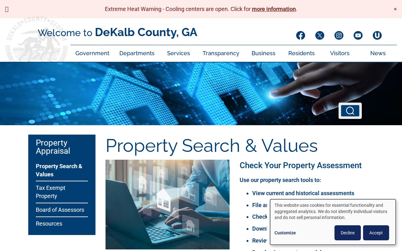
The free Property Appraisal search accepts three routes. An exact parcel ID is the cleanest key. An address search supports a street-number and name query, while Owner Name helps locate parcels tied to a person, estate, trust, or entity. Results can include current and historical assessments, values, property traits, exemptions, map links, and deed-reference fields.
| Search field | Input | Best street use |
|---|---|---|
| Parcel ID | Exact county identifier | Reconnect a mapped lot to its profile |
| Address | Street number and name | Find the standardized situs and nearby results |
| Owner Name | Surname or entity | Find other assessed parcels, with spelling checks |
| Search | Button | Run the selected query |
A homestead flag is evidence of an exemption claim tied to ownership, not a list of every person at the address. Likewise, a mailing destination exists for tax correspondence. It may be the situs, another DeKalb address, or an address outside the county.
Open the official DeKalb property-search gateway to see the source represented below.
Map the DeKalb Street Directory
DeKalb GIS maintains parcels, ownership mapping, standardized addresses, and the Address Verification route used with E911 and county systems. Search Address/Place or Parcel ID, then use the map's identify click. Layers, aerial imagery, pan, zoom, measure, and print or share controls can help distinguish a road frontage from a rear lot, a common area, or a condominium master parcel.
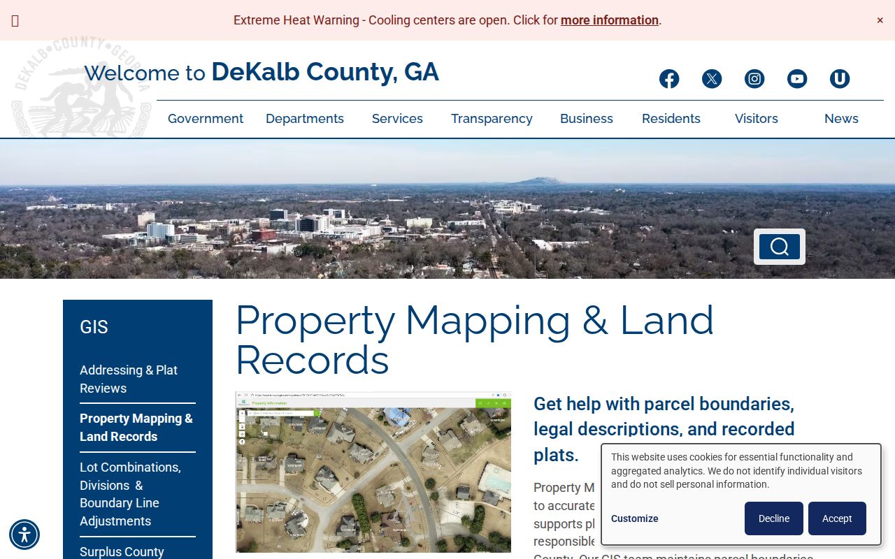
The GIS map is a working spatial index, not legal proof of title. Its strongest role in a street directory is to show which parcels line the road and which government geography applies. When a book and page is missing, the GIS mapping team accepts an address or parcel ID at mappingteam@dekalbcountyga.gov and can identify the latest deed or plat reference. GIS does not supply the deed image, plat copy, or a land survey. Those belong with the Clerk's Real Estate Division.
Visit the official DeKalb GIS Hub before using its parcel and address tools.
DeKalb Street Records and Gaps
No record set supplies a complete DeKalb County street directory. The appraisal roll is keyed to parcels, deeds to parties and legal descriptions, permits to an issuing jurisdiction, and directories to a published year. Their limits are as important as their public fields.
| Address source | Key | Public evidence | Main gap |
|---|---|---|---|
| Appraisal | Situs, parcel, owner | Assessed owner, mailing field, traits | No full household |
| GIS | Map or parcel | Lots, nearby parcels, service layers | Not guaranteed title |
| Deeds | Party, book/page, legal text | Transfers, instruments, recorded image | Online index begins in 1979 |
| Voter file | Public residence field | Registered voters in ordered product | Nonvoters and protected data absent |
| Permits | Address or parcel | Work, applicant, contractor, dates | Municipal and archive gaps |
| Reverse directory | Street and number | Past occupant and sometimes occupation | Local holdings start in 1928 and vary |
| Census | Address and enumeration area | Historic household | Public schedules end at 1950 |
The parcel ID and legal description form the durable bridge. Street spellings, house numbers, postal cities, and city limits may change. The same land can still be followed through a land district, land lot, subdivision, block, or metes-and-bounds description. A plat is the recorded plan that lays out lots, blocks, roads, and common areas.
- Parcel
- A mapped unit of land identified by the county.
- Situs address
- The standardized physical address of the parcel.
- Plat
- A recorded drawing of a subdivision, lot, block, or boundary.
- Criss-cross directory
- A directory arranged by street and house number instead of only by surname.
Link DeKalb Streets to Deeds
Landmark Web is the DeKalb County Clerk of Superior Court's electronic official-records index for 1979 to the present. It offers Name, Document, Book Page, Parcel ID, Record Date Range, Instrument Number, and Legal searches. For a current parcel, start with the deed reference in appraisal or ask GIS for it. Open that recorded instrument, keep the grantor and grantee roles clear, and compare the legal description with the parcel.
A grantor transfers an interest; a grantee receives it. The index also supplies an instrument or file number, document type, book and page, and recording date. An image may add an execution date, consideration, reservations, or prior-deed recital. Assignments and cancellations can appear as separate records. Search all spelling variants, as the Clerk expressly advises.
When the chain reaches the web cutoff, visit the Real Estate counter for deed books and handwritten indexes or use Georgia Archives and FamilySearch images for older series. Deputy clerks assist public researchers on weekdays from 8:30 a.m. to 4:30 p.m., but staff do not perform deed research by telephone. Calls are best reserved for process and copy questions.
Review the county's property mapping and land-records handoff before requesting a deed or plat copy.
Check DeKalb Address Jurisdiction
A postal city is not a city boundary. A Decatur mailing label may describe an unincorporated DeKalb parcel, and Atlanta ZIP Codes reach into the county. Tucker, Stone Mountain, Lithonia, Druid Hills, and Emory areas have similar mismatches. Confirm the parcel in GIS before seeking permits, code records, council files, or other municipal material.
Permit access differs by city and county. Common fields include address, parcel ID, permit number, applicant or contractor, permit type, status, and a date range. If a portal omits older cards or code files, send the correct custodian a Georgia Open Records Act request for an existing series in its native electronic format. The office has three business days to respond, though production can take longer and may involve lawful search, review, redaction, or copy costs.
Postal-label myth. “Decatur” on mail does not establish City of Decatur control; DeKalb GIS supplies the needed jurisdiction check.
Use DeKalb Voter Data Carefully
Georgia My Voter Page verifies a voter's own status with identity details. It is not a public street browse. The separate Secretary of State order process can supply Active Voters or Active and Inactive Voters for a county, municipality, district, or precinct. A lawfully obtained CSV may be filtered by a residence address, but O.C.G.A. §21-2-601 restricts commercial use of the electors list.
The file excludes telephone numbers, birth dates, Social Security numbers, and driver's-license numbers. It may show name, residence and a different mailing address, status, precinct or district geography, registration date, and participation fields supplied in the product. Georgia records primary participation, not a lasting party affiliation or a candidate choice. The file also omits people who are not registered and may lag a move. Preserve its extraction date and selected status group.
Carry DeKalb Streets Before 1979
Landmark's electronic coverage begins in 1979, but DeKalb County land records are much older. At that boundary, take the last known grantor, grantee, book and page, parcel ID, and legal description to the Superior Court Clerk's Real Estate counter. Public researchers can use the older deed books and handwritten indexes with deputy-clerk help on weekdays from 8:30 a.m. to 4:30 p.m. The office answers process and copy questions by telephone, but it does not conduct deed research by phone.
Georgia Archives and FamilySearch provide another route, especially for pre-1900 county books. Many image sets must be browsed, and the handwritten name index may sit at the front of a volume. The Archives County Records Microfilm Index identifies surviving DeKalb series and possible gaps. A courthouse-disaster note does not mean every book vanished. Record the series, book, page, image number, and spelling used so the older part of the street directory can be checked again.
Legal geography matters most here. DeKalb was formed in 1822, and early records often identify land by district and land lot rather than a modern road. Match the 15th, 16th, or 18th land district, land lot, subdivision, lot, and block wherever those fields appear. Those keys can carry one parcel across a changed street name, house number, or postal city.
Read DeKalb Streets in Reverse
Decatur Library's local-history collection holds city directories dating to 1928 in print and microfilm at the second-floor Reference Desk. When a volume has a reverse or criss-cross section, look up the street first, then move through the house numbers. An entry may identify a householder, spouse, occupation, or business address, depending on that volume's format. Read its abbreviation key before expanding any symbol.
Check the same name in the alphabetical section and compare the nearest available years. The 1928-29 Decatur volume held by the DeKalb History Center reaches beyond Decatur to Avondale Estates, Emory University, and Scottdale. Even so, the verified holdings are not one continuous countywide run. A missing name can reflect a gap in publication, a spelling variant, or a person the publisher omitted.
For a reliable street-by-street citation, preserve the volume title, year, publisher when shown, page, column, street form, house number, and abbreviation key. Pair an apparent occupant with a deed, census schedule, obituary, or permit. The directory supports historical occupancy, but it does not establish legal title or every member of a household.
The federal census can test the directory match for 1930, 1940, and 1950, the latest population schedule now public under the 72-year rule. Search the period address and enumeration district, then compare the full household with the names printed in nearby directory years. A census household can include relatives and other occupants whom the directory did not index. It still represents one census date, not the whole decade.
Community sources can fill a narrow street gap. DeKalb History Center preserves MAK Neighborhood Papers, Smoke Rise material, and Forkner Drive Civic Club records beginning in 1941, including newsletters and servicemen's letters. Those archives document past civic life rather than a current household list. Ask for the named collection and whether the box is on site, whether an appointment is needed, and whether photography is allowed. Cite the collection, box or folder when supplied, item date, and the exact street reference.
Newspaper coverage also needs balance. Historical papers often emphasized prominent white residents, while many Black, immigrant, and working families appeared unevenly or not at all. Deeds, census schedules, church and cemetery records, community newsletters, and directories can broaden the record. Do not treat one publication's silence as evidence that a person or household was absent from DeKalb County.
Limits of DeKalb Street Directories
A public street directory cannot reveal a complete household. Appraisal does not list all residents. Voter data excludes children, nonvoters, and protected fields. Driver address data is shielded by the federal Driver's Privacy Protection Act. Utility, delivery, student, congregation, and private association lists are not public household rolls. Georgia Safe at Home substitute addresses must never be reverse-engineered through cross-matching.
Historic sources also have gaps. Decatur Library's directory holdings date to 1928 but are not one unbroken county series. Older publications left out many people and communities. Use initials and spelling variants, compare the volumes before and after a target year, and record when no available volume contains the name. An absence from one book is not proof that no one lived there.
Large sites need extra care in a DeKalb street-by-street search. One GIS click may return a condominium common parcel, a single unit, an apartment master parcel, or part of an institutional campus. Appraisal may expose unit parcels without naming all people in the building. A condominium declaration or plat explains the legal layout, while a directory may list only a manager or selected householders. Never expand those partial facts into an invented roster. The same rule applies to rear lots and rights-of-way that touch a road on the map but do not use its mailing address.
When a portal cannot return a whole named street, browse the parcel map one lot at a time or request an existing tax-digest slice from Property Appraisal. Ask for native electronic form and state the street, date range, and fields sought. An agency need not create a new report. Keep the response date and any stated limits with the results. This makes a later DeKalb County street directory check reproducible when assessments, owners, addresses, or portal controls change.
For deeper work on former occupants, follow the DeKalb County previous residents trail from the current parcel back through deeds, directories, census schedules, and archives.
Lawful use. Use DeKalb address records for house history, family research, and civic questions, never to track, harass, or harm a person.