
DeKalb County Neighbor Sources
Each official source answers one narrow question about a block. DeKalb County GIS shows the physical pattern. Appraisal profiles name assessed owners and tax-mailing destinations. A recorded plat defines the subdivision, lots, block, roads, and common land. The evidence can support neighborhood or property research, but it does not disclose every occupant.
| Block source | What it shows nearby | Access route |
|---|---|---|
| GIS and appraisal | Parcel lines, standardized addresses, assessed owners | Free county map and profiles |
| Recorded plat | Lots, block, subdivision, roads, common areas | Landmark or Clerk counter |
| Public voter list | Registered-voter residence fields | Paid SOS order with legal limits |
| Permit or code record | Work, applicant, contractor, dates, status | City or county portal/request |
| Neighborhood group | Boundaries, officers, contacts, public events | Municipal or group page |
| DHC newsletter | Past residents and civic activity | Archive appointment |
Tax ownership is not the same as occupancy. The mailing address may belong to an owner who lives elsewhere. Renters and other household members do not appear on the parcel card. DeKalb County neighbors should therefore be described by what a source proves: adjacent parcels, assessed owners, registered voters, or public association contacts.
Map DeKalb County Neighbors
The DeKalb County GIS Hub is the best start for an immediate block. Search the target address, zoom until lot lines appear, and click the subject parcel. Record its standardized situs address and parcel ID. Then work outward one parcel at a time.
- Locate the address and confirm the selected parcel, not a nearby label.
- Click every parcel touching the subject and those facing it across the road.
- Open each appraisal profile and label the assessed owner and mailing field separately.
- Use aerial imagery to spot rear lots, shared drives, rights-of-way, and common areas.
- Use the plat when the map alone cannot explain a condominium or subdivision block.
This is an address-to-map-to-owner flow, not a whole-street search. Once the question expands beyond the immediate block, the DeKalb County street directory provides the full by-address chain.
The official GIS page introduces parcel and address tools. Review that county source before opening the map so the search stays tied to the right parcel.
DeKalb County Neighbors and Rear Lots
A simple left-and-right scan can miss real neighbors. Rear parcels may touch the target without sharing its street. A narrow right-of-way can separate lots that look adjacent. A condominium map may show a master parcel, a common area, or one unit rather than every unit. Apartment and institutional parcels may cover a wide site without providing a public resident list.
Use pan, zoom, the aerial basemap, and the parcel layer together. If measure or select controls appear, they can define the physical block, but do not claim a fixed radius that the map does not support. For condominiums, individual appraisal profiles and the recorded declaration or plat supply the durable structure. A map click is evidence of mapped land, not proof of who occupies each unit.
Note: Preserve the parcel ID for each click because the visible street label may point to a building, driveway, common parcel, or nearby lot.
DeKalb County Neighbors Versus Owners
The appraisal record reports ownership for tax purposes. It usually includes owner, situs, mailing destination, parcel traits, values, and exemptions. None of those fields enumerates a household. Even a matching mailing and situs address does not prove every person living there. A homestead exemption is evidence of an exemption claim tied to ownership, not a roll of occupants.
| Official record | Safe conclusion | Conclusion to avoid |
|---|---|---|
| Parcel profile | Named assessed owner | Every resident at the address |
| Tax mailing field | Destination for notices | Owner's present home |
| Homestead field | An exemption claim exists | Complete household identity |
| Map boundary | County's mapped parcel shape | Guaranteed legal title or survey |
Recorded title should be confirmed with the Clerk's deed image and grantor/grantee index. GIS can identify the latest deed or plat book and page from an address when the researcher lacks it. Deed and appraisal records still concern ownership. They should never be expanded into claims about renters, children, guests, or other DeKalb County neighbors.
Read DeKalb County Neighbors by Plat
A plat translates a modern address into subdivision, lot, and block. It can explain why two yards touch, identify a common tract, and show dedicated roads. Search the Landmark official records index by book and page when the reference is known. Landmark's electronic information begins in 1979. Earlier books require the Superior Court Clerk counter, Georgia Archives microfilm, or FamilySearch images where available.
GIS does not supply deed or plat copies and is not a survey. Its mapping team can help identify the latest reference from an address or parcel ID. The Clerk's Real Estate Division holds the recorded image. This office-to-office handoff is valuable when the appraisal page points to a book and page but a complex block still needs its recorded plan.
Voter Data for DeKalb County Neighbors
Georgia My Voter Page lets a voter authenticate and check that person's registration, precinct, districts, sample ballot, and voting history. It is not a public street browser. The separate SOS voter-list order is the bulk public-record route. A county file may be filtered by public residence address after it is lawfully obtained.
The ordered file can include voter name, residence and a differing mailing address, status, registration geography, registration date, and participation fields. It excludes telephone numbers, birth dates, full or partial Social Security numbers, and driver-license numbers. Active-only or active-and-inactive selections and the extraction date should be kept with any analysis. Georgia has no enduring party-registration field. Primary participation never reveals a candidate choice.
Lawful use. O.C.G.A. §21-2-601 bars commercial use of the electors list; use public data for legitimate personal or civic research, never surveillance or harassment.
A voter file omits nonvoters, children, protected addresses, and many people who have moved. Status may lag during list maintenance. It adds a limited block-level clue, not a census of DeKalb County neighbors.
For a distinct public-safety task, the Sheriff's official address-radius registry information explains its own search and alert route.
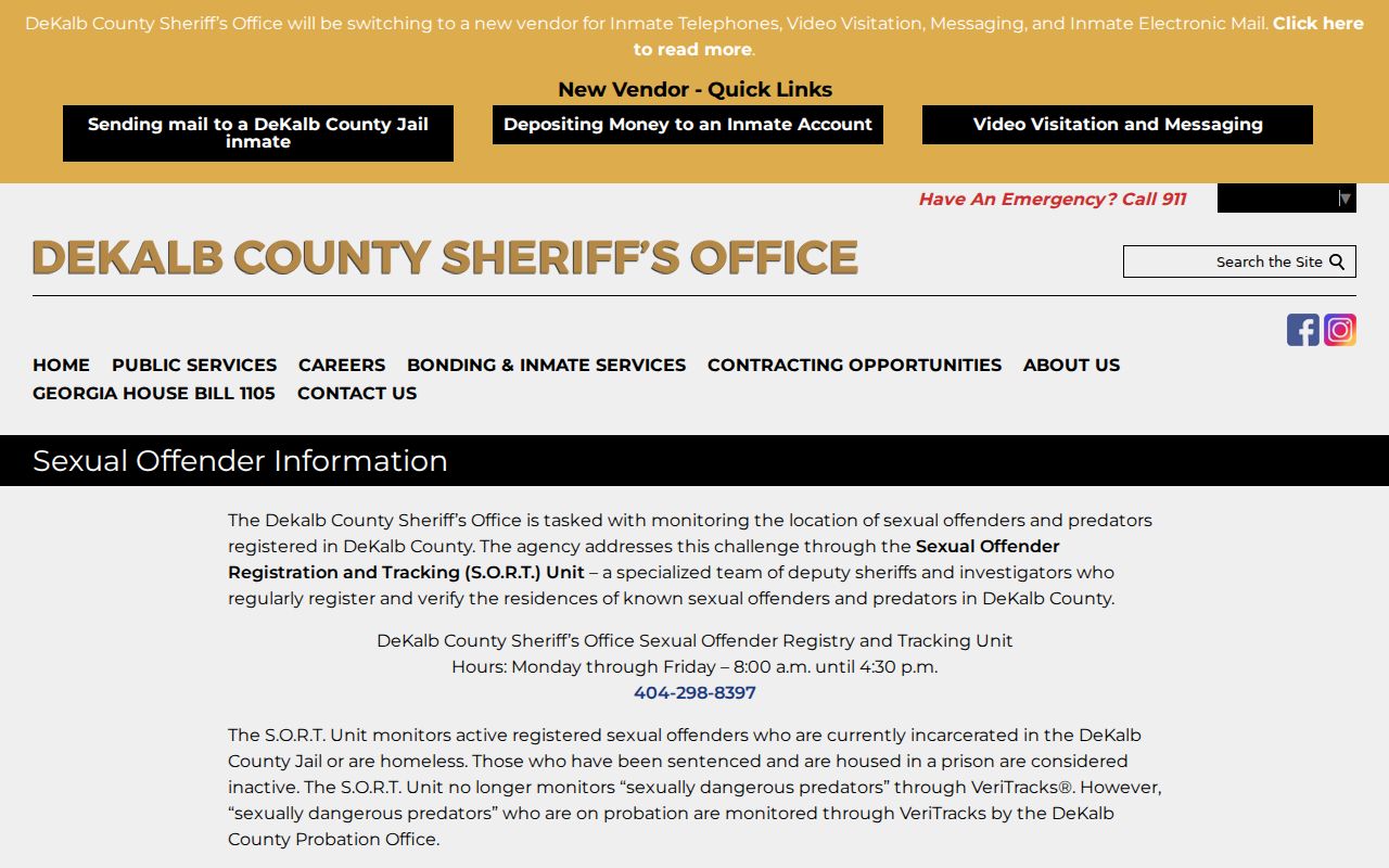
The registry is a purpose-specific official source, not a general roster of everyone around an address, and its limits should remain clear.
Public DeKalb Neighborhood Contacts
Community organizations supply the human layer that parcel records cannot. City of Decatur recognizes associations including MAK, Oakhurst, and Winnona Park through its neighborhood resources. The DeKalb History Center preserves MAK Neighborhood Papers, Forkner Drive Civic Club records, and Smoke Rise periodicals. These collections document civic life, boundaries, public officers, events, and past concerns.
Decatur neighborhood resources
Municipal route for recognized groups and their public contact information.
DeKalb History Center
Archive route for MAK, Forkner Drive, Smoke Rise, and other community periodicals.
Associations commonly publish officers or a general email, not member rosters. Ask a group directly about joining or attending. Never infer membership merely because an address falls within a named neighborhood.
DeKalb Community Records Over Time
Historic newsletters can show a block's civic life when modern parcel records cannot. Forkner Drive Civic Club material begins in 1941 and includes “The Tattler” and servicemen's letters. MAK papers preserve newsletters, bylaws, and centennial material. Smoke Signals, Decatur Focus, Doraville Citizen, Brookhaven Buzz, and scattered Champion issues document other local geographies.
These are archival sources, not current resident rolls. Names may identify writers, officers, event participants, or households at the time of publication. Record the publication title, date, page, and collection. The materials also carry gaps. Older newspapers often emphasized wealthy or influential white residents, so deeds, directories, census records, churches, cemeteries, and community sources should be compared rather than treated as complete.
Official Rolls Versus Neighbor Tools
Commercial neighbor tools merge public and licensed data, but their addresses and household links can be stale or wrong. Official sources are narrower and more transparent. A county parcel profile names the assessed owner. A plat shows recorded block structure. A public association page names its public officers. Each comes from a known custodian and can be checked.
| Choice | Strength | Limit |
|---|---|---|
| Official parcel and plat records | Known custodian and stable identifiers | Ownership is not occupancy |
| Lawfully ordered voter file | Defined public fields and extraction date | Not every resident appears |
| Public association contact | Direct civic connection | No private member roster |
| Commercial compilation | May combine broad sources | Unknown refresh dates and inferred links |
For a correction, return to the source office. Removing an item from a commercial compilation does not erase an official deed or tax roll. The safest neighbor lookup keeps each claim as narrow as the record behind it.
Privacy for DeKalb County Neighbors
Several kinds of data stay outside a public block search. Utilities, delivery accounts, student records, congregation lists, block-watch rosters, and DMV addresses are not public household directories. Georgia Safe at Home provides a substitute mailing address for qualifying survivors of domestic violence, stalking, and related abuse. Researchers must not try to derive a confidential address by cross-matching deeds, voters, courts, or business filings.
Georgia public-record redactions cover Social Security numbers and specified personal identifiers under O.C.G.A. §50-18-72. The federal Driver's Privacy Protection Act restricts motor-vehicle personal data. Stalking and aggravated stalking laws, O.C.G.A. §§16-5-90 and 16-5-91, can apply when information supports prohibited surveillance or contact.
DeKalb County neighbors can be researched for parcel layout, public neighborhood history, civic contact, and personal safety awareness. A protected field is a boundary, not a puzzle. Stop at what the public source actually shows.